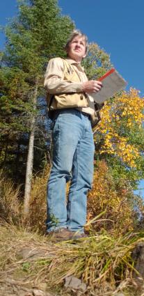
Geologist shares update on North Shore research in 2020
Despite being over a billion years old, rock outcroppings along the North Shore of Lake Superior and throughout the boundary waters region continue to captivate curious onlookers in modern times.
In addition to the brilliant scenery they provide, a team of geologists working in Cook County this summer and fall are using the rocks to assist with various mapping efforts in the region.
Geologist Terry Boerboom of the Minnesota Geological Survey is among the team currently stationed along the North Shore. According to Boerboom, the rocks along the shore of Lake Superior between Duluth and the Canadian border are over 1 billion years old and formed when the North American continent began to drift apart along the axis of Lake Superior.
Boerboom and others with the Minnesota Geological Survey are conducting field surveys of the bedrock geology and the surficial geology, the latter being the sand and gravel between the soil and the bedrock.
The team plan to wrap up their work in early October. Once complete, a series of maps showing the bedrock of the area will be available for the general public. The maps can also assist with the Cook County Soil and Water Conservation District and their ongoing research into well locations throughout the county.
Boerboom spoke with WTIP’s Joe Friedrichs about his geological research along the North Shore in 2020.
Tweet


